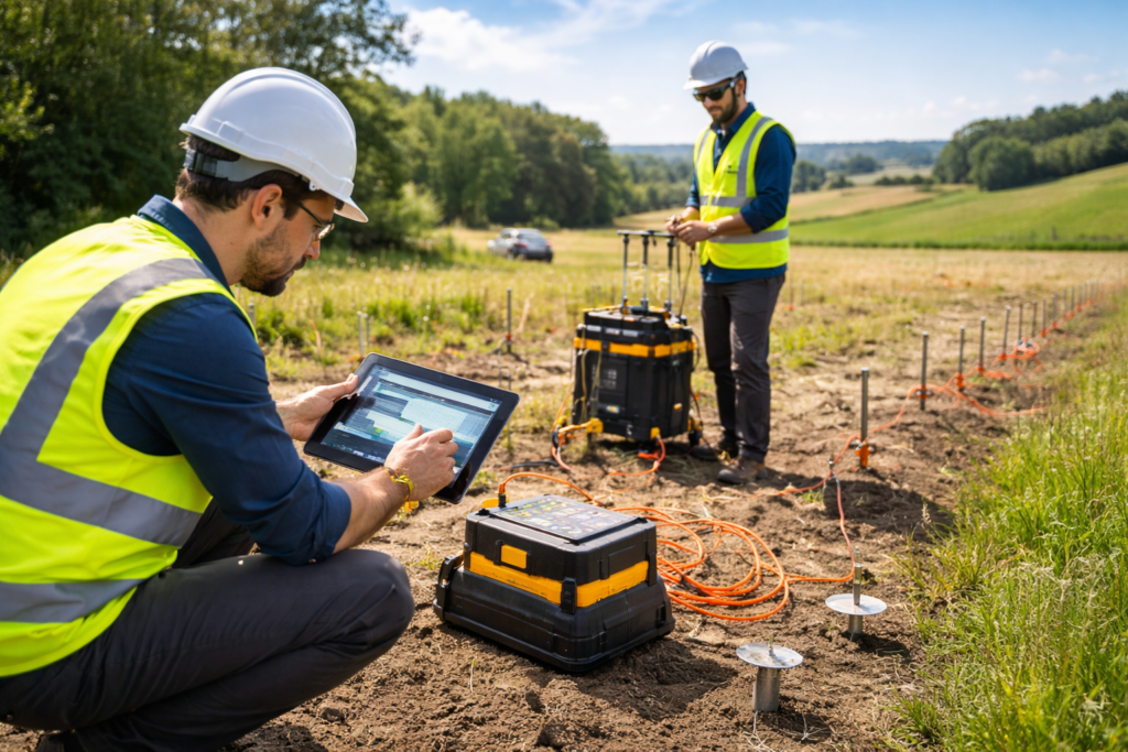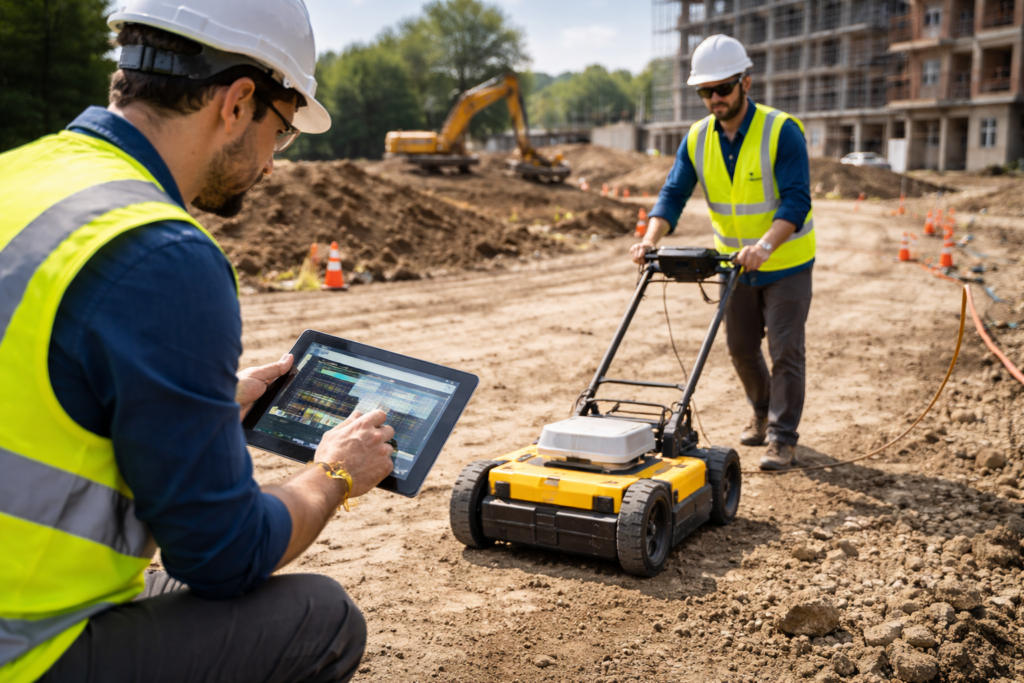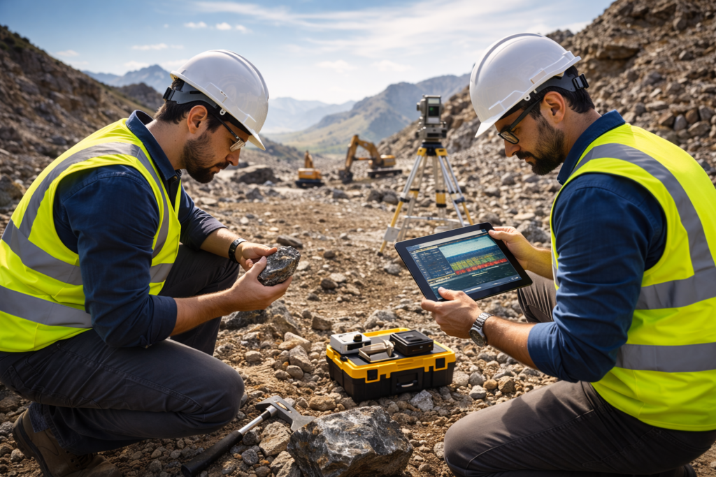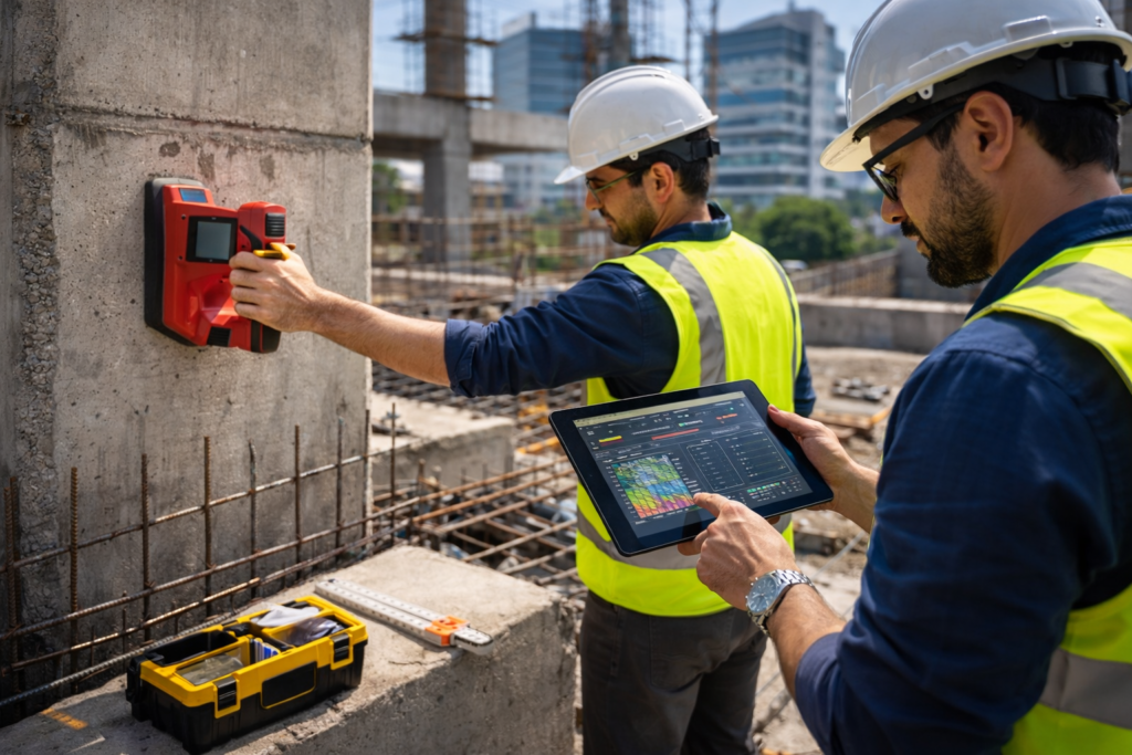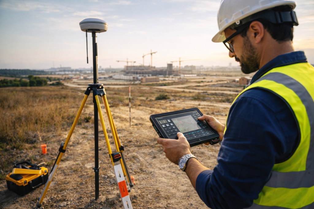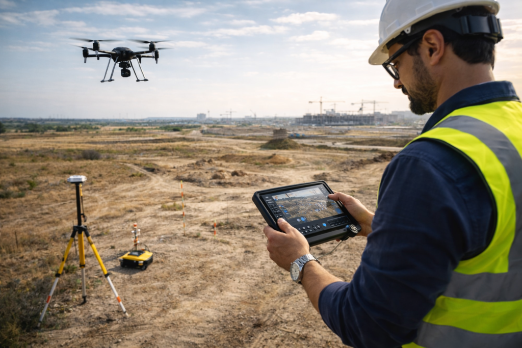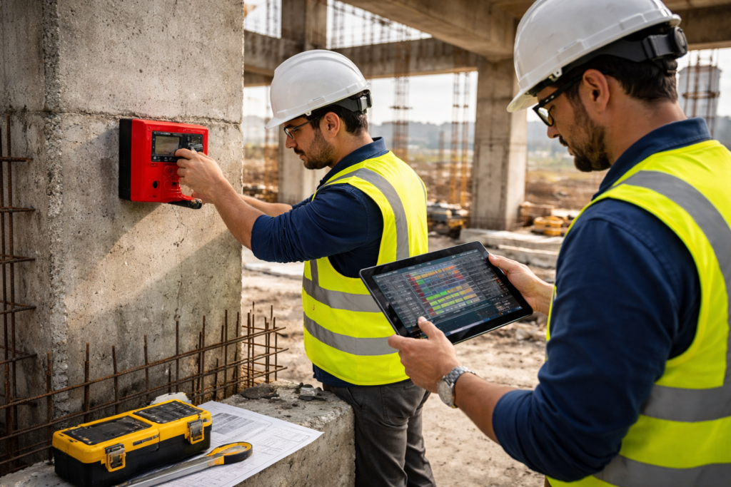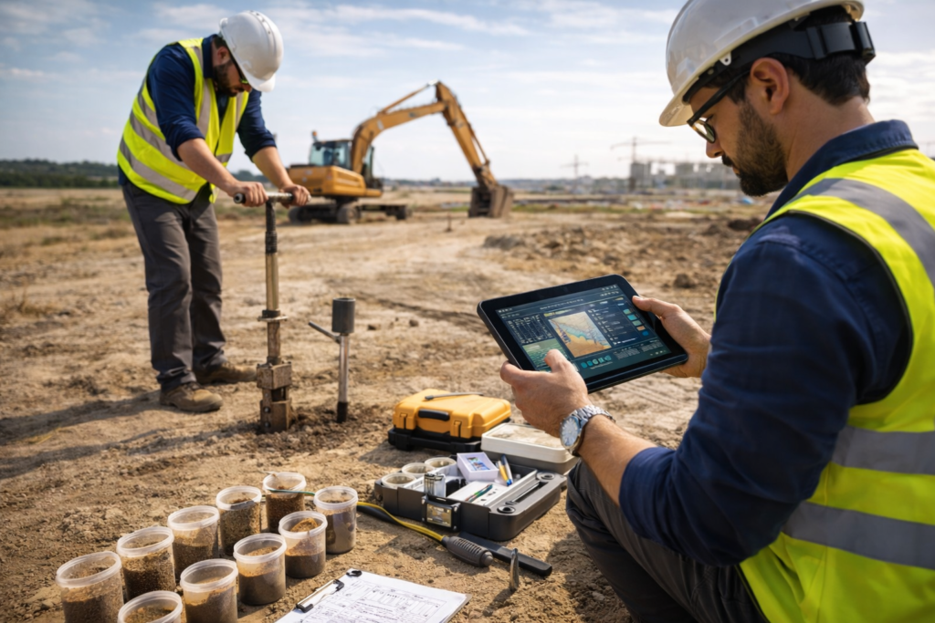
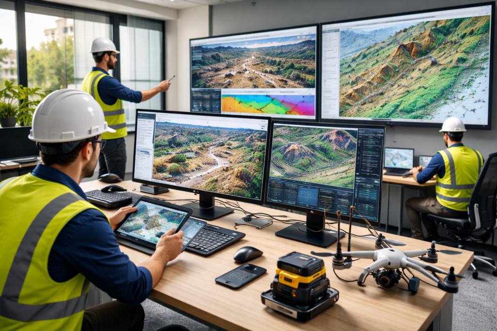
Parvati Geo & Hydro Tech is a professional geophysical and land survey service provider dedicated to delivering accurate and reliable survey solutions for construction, infrastructure, and land development projects. With the support of advanced geospatial and geophysical technologies, we help clients understand land conditions and subsurface structures before starting critical development work.
Our expertise includes groundwater surveys, ground penetrating radar (GPR) scanning, mineral exploration, structural mapping, soil testing, DGPS land surveys, drone mapping, and concrete scanning. By combining modern survey equipment with experienced field engineers, we provide precise data and detailed reports that support safe planning, efficient construction, and sustainable land use.